
In the woods the signal disappears, but the GPS location does not. It seems like a contradiction: how does the phone know where you are without reception? The answer separates two things that we often confuse.
Offline GPS tracking works because it uses satellites, not the telephone network. The field is used for calling and downloading data, not for calculating the position.
The field is used for making telephone calls. Not knowing where you are.
In short
- GPS uses satellites, not the cellular network: it works even without reception.
- What is missing offline are the maps: they must be downloaded first.
- Satellite chip plus offline maps equals car route and return anywhere.
Two different signals (and here is the misunderstanding)
The cell phone signal
It's the one with the notches. It is used for making calls and surfing the internet. Under the branches, in the valley or far from the repeaters, it disappears.
The satellite signal (GNSS)
It's something else. The phone's chip receives satellite signals — GPS, Galileo, GLONASS — directly from the sky. He doesn't need any network.
Mathematics: trilateration
The phone measures how long it takes for each satellite's signal to arrive. From that time he derives the distance from each. By crossing the distances from at least four satellites, it calculates where you are, with precision of a few meters.
What's really missing offline: maps
You know the position even without the field. What you can't download on the fly is the cartography beneath you. For this reason, maps of the area must be taken before leaving.
- Download the maps of your area first.
- The path is still recorded, even at zero field.
- The return to the car works with an arrow and distance, without signal.
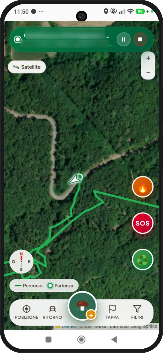 GPS trackEven without a field
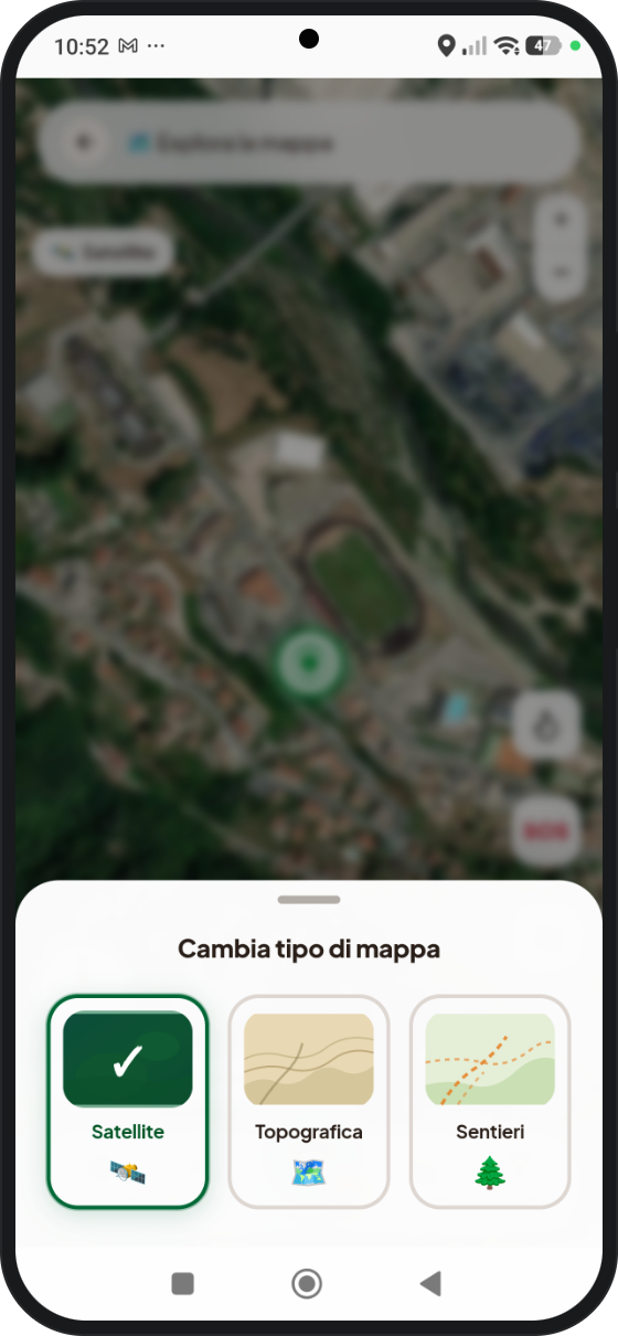 Offline mapsSatellite, mouse, trails
The time I understood the difference
The first time I found myself at a loss with my one-bar phone, I learned the difference between field and GPS firsthand.
The dot knew very well where I was. The map was missing, which I hadn't downloaded. Since then I always unload it before entering.
— Federico, Mush Scout
Download the maps before leaving
MushScout records the track via satellite and takes you back to the car even at ground zero. The important thing is to download the maps of the area first: satellite, topographic and paths.
Tracks and routes remain on your phone, like your finds. Download it on Google Play.