There is an outing that went well for you: that tour in the high beech forest, the right path found almost by chance, the slope that no one had yet explored. A month later you come back, and you no longer remember that road - because in the woods you look at the ground, not the landscape.
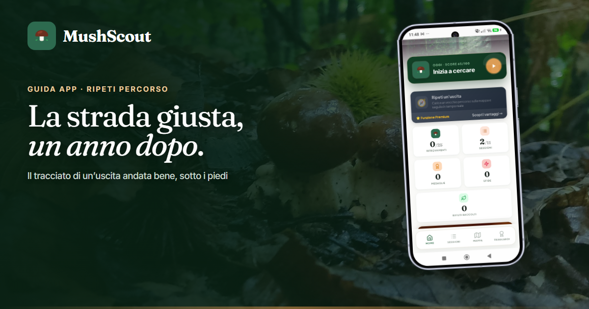
Repeat route it serves exactly this: it takes the route of an exit you've already done and puts it back under your feet.
How it works
Open a past outing in the diary and choose to repeat it. The app loads that route onto the map and takes you along the same line, with old finds in place as a reference: you see where you found, and what.
In the meantime you are recording a new release, today's. In the end you will have two overlapping laps on the same route, in two different years - which is the most direct way to understand if the forest is doing as well as it did then.
If you get off course it tells you
In the woods the path gets lost: a fallen branch, a trail that seems like the right one but isn't. If you actually wander off, the app will let you know — a couple of times at most, and only when you're actually drifting away.
He's not a navigator who talks every thirty seconds. It's a tap on the shoulder, and it needs to remain rare: a warning that rings continuously, after half an hour, is ignored like all the others.
It's not «My Steps»
They are two different things and it is worth not confusing them, because they answer opposite questions.
- My steps it is an overall view: it lights up the traces of all past releases on the map, and is used to see where Not have you ever been. In the free plan it shows the last five releases, with Premium all.
- Repeat route it's a guide in the moment: it takes a single exit and takes you back along that one, as you walk. It is a Premium feature.
The first is looked at at home, the second is used in the woods.
It works even without a field
The track is already on the phone, so the function works where the signal does not reach — which is the normal condition in the forest. If you have downloaded the map of the area first, below the line you also see the forest; otherwise you still see the track and your position, because GPS doesn't need the telephone network.
And if the phone gets lost and finds the field again halfway through the lap, the exit you are recording is not lost.
The path you follow is the real one
A clarification that matters more here than elsewhere: when the signal is lost under the canopy, the MushScout track becomes break instead of drawing a straight line between the last valid point and the first good one.
This is why repeating a route makes sense: you are following where you really went, not a shortcut designed by an interpolation - perhaps crossing a canal or a bramble. The app shows you where the track stops, and you know that you have to find that piece yourself.
When it is best to use it
- The ride that makes. The one you do every year at the same time and that you reconstruct from memory every year, losing half an hour in the initial part.
- The forest is large and equal to itself. Where between the good side and the wrong side there are two hundred meters and an hour's walk.
- Bring someone there. Re-route the route with those who weren't there, without having to verbally explain where to turn.
- The return. If you've gone too far, retracing your outward journey is the route you already know you can take - and to return to the car park there is still an arrow that works offline.
Repeat it today, or in ten days?
The path says Where. It remains to be understood When, and it's a different question: the twelve-day calendar of that place tells you from which day it is worth going there.
The two things together are the meaning of the function: taking the right path again in the right week, instead of the right path a month too soon.
Before leaving
A reminder that applies to every outing: where you can collect, how much and on what days is decided by your region, and some areas are closed or reserved. The painting region by region it's here.
Frequently asked questions
Is repeat route free?
No, it's a Premium feature. In the free plan, you record the outings and review them anyway: what Premium adds is that you can be taken back along one of the ones you've already done.
Will you take me to where the mushrooms are?
No, and be wary of anyone who promises it. It takes you back to where you have already been, which is something different and verifiable.
What is the difference with «My steps»?
«My steps» shows all the past tracks together, to understand where you have never been. “Repeat route” takes just one and guides you along it as you walk.
Does it work without signal?
Yes. The track is already on the phone and the position comes from the satellites. By downloading the area first, you can also see the map below the route.
Does anyone else see my routes?
No. Tracks and findings remain yours: no other user sees them, not even the friends you do the challenges with. This applies to routes as well as to all your places.